探す
空を再発見し、新たな地平線を見つけ、次のフライトの冒険に出かけましょう。今日は何をお探しですか?
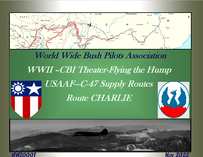
Flying the Hump- CBI-C-47 Supply Routes - ROUTE CHARLIE
Flying the Hump- CBI-C-47 Supply Routes-(1942-1944). This download contains a set of "reenactment" flight plans for The WW2 China-Burma-India (CBI)...

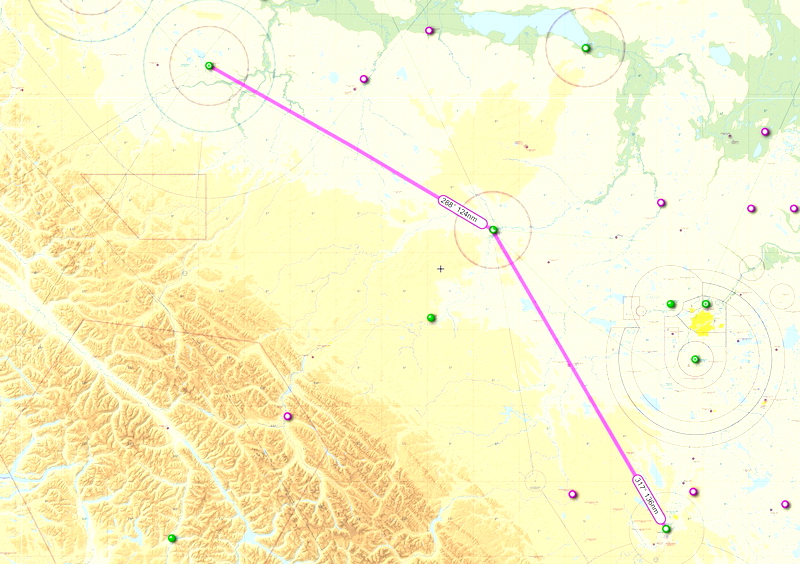
GPS Flightplan route Red Deer Regional to Grande Prairie AB.
This is an IFR flightplan GPS route from Red Deer Regional CYQF to Grande Prairie CYQU Drop the .pln files...


IFR Flightplan GPS Route Calgary CYYC to Grande Prairie CYQU
This is an IFR GPS flightplan based on real-world flights from Calgary CYYC to Grande Prairie CYQU. Suggested altitude is...
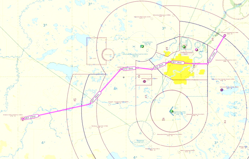
VFR GPS Flightplan Route Drayton Valley AB. to Josephburg AB.
This is a VFR GPS flightplan route from Drayton Valley Alberta CER3 to Edmonton Josephburg CFB6. The route takes you...
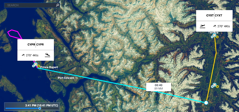
IFR GPS Flightplan route Terrace BC to Prince Rupert BC
Here is a fun IFR flightplan GPS route that departs Terrace CYXT via rwy 15 ZKI1 departure then goes on...

Terrace BC to Smithers BC VFR route via Telkwa Pass
Terrace to Smithers via the Telkwa PassThe reverse flightplan is also included.This is the VFR route that is often used...

Watson Lake Yukon to Dease Lake VFR route flight plan
This is a VFR flight plan from Watson Lake to Dease Lake based on the VNC published route. Reverse route...

Princeton BC CYDC to Pentiction CYYF VFR flight plan route
This is a VFR flight plan from Princeton BC CYDC to Penticton BC CYYF using the published VFR route on...
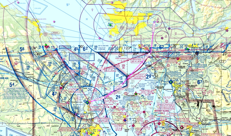
Pitt Meadows CYPK to Victoria CYYJ VFR flight plan route
This is a VFR flight plan from Pitt Meadows CYPK to Victoria CYYJ using the published VFR routing across the...

Airdrie CEF4 to High River CEN4 VFR flight plan route
This is a VFR flight plan route from Airdrie Alberta CEF4 to High River Alberta CEN4. Flight distance is 60...

Tacoma Narrows (KTIW) Airshow Route from McChord Air Force Base (KTCM)
Well it's not really much a flight plan, but it's the one I used to create a 5-part virtual airshow...


Russia Ultimate Series Part 7 - Route to Siberia - Orenburg to Biysk
(IMPORTANT ADVICE: The areas covered by this bushtrip suffer some bad default image quality, which is why I highly recommend...


The Coral Route - Flying Boats in the South Pacific 1951-1960
Discover the historic Coral Route with this add-on, featuring flight plans for the iconic TEAL flying boat service in the...


IFR Flightplan GPS route Edmonton Intl. AB. to Peace River AB.
This is an IFR GPS flightplan route from Edmonton International CYEG to Peace River Ab. CYPE Flight distance 234 nm....

VFR GPS Flightplan route Bella Bella Campbell Island to Bella Coola
This is a VFR GPS flightplan route from Bella Bella Campbell Island CBBC to Bella Coola CYBD. Trip distance approx....

Fort St. John BC to Prince George VFR flight plan route
This is a GPS flight plan that is based on the real-world VFR route from Fort St. John BC to...

Fort St. John BC to Fort Nelson VFR route flight plan
This is a VFR flight plan from Fort St. John BC to Fort Nelson. Reverse route included.Flight distance 193 nmMin....

Fort Nelson BC to Watson Lake Yukon VFR route flight plan
This is a VFR flight plan from Watson Lake to Fort Nelson. Reverse route included.Flight distance 265 nmMin. enroute alt....

Chetwynd BC CYCQ to Mackenzie BC CYZY VFR route flight plan
This is a GPS flightplan route from Chetwynd BC CYCQ to Mackenzie BC CYZY using the published VFR route on...