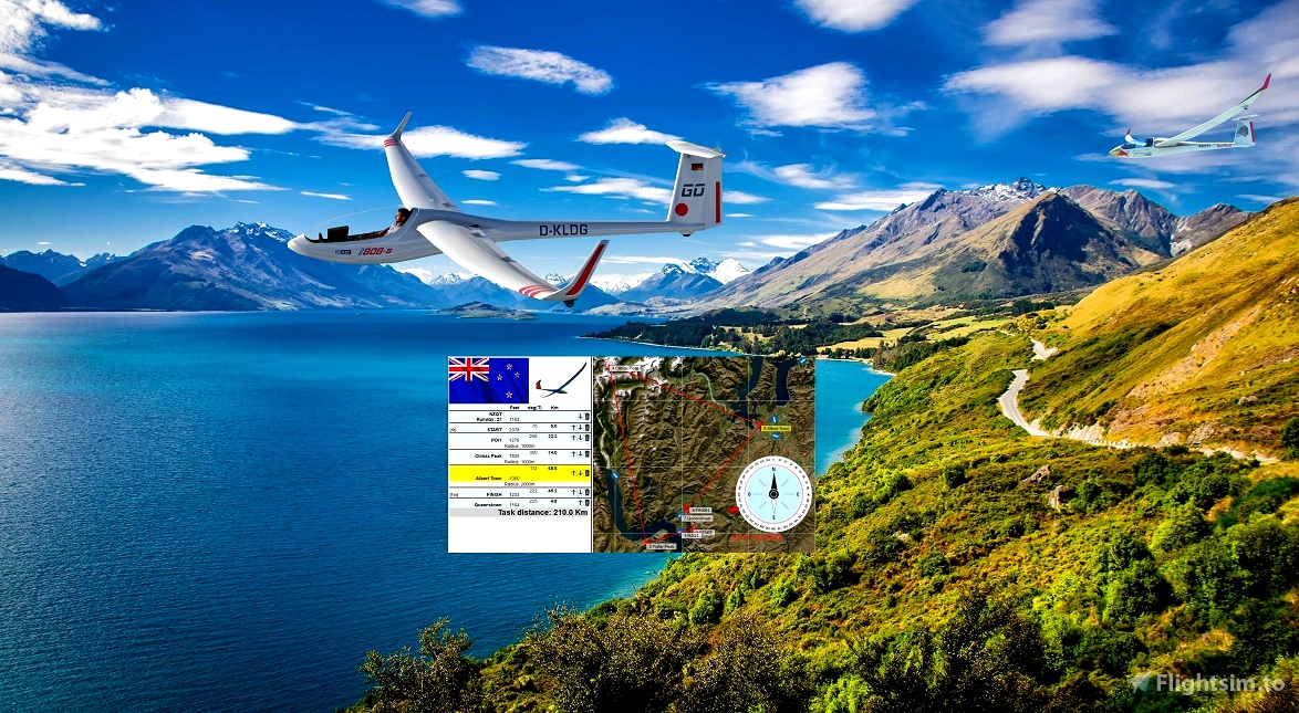
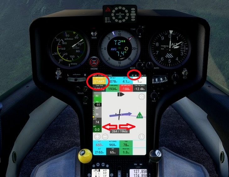
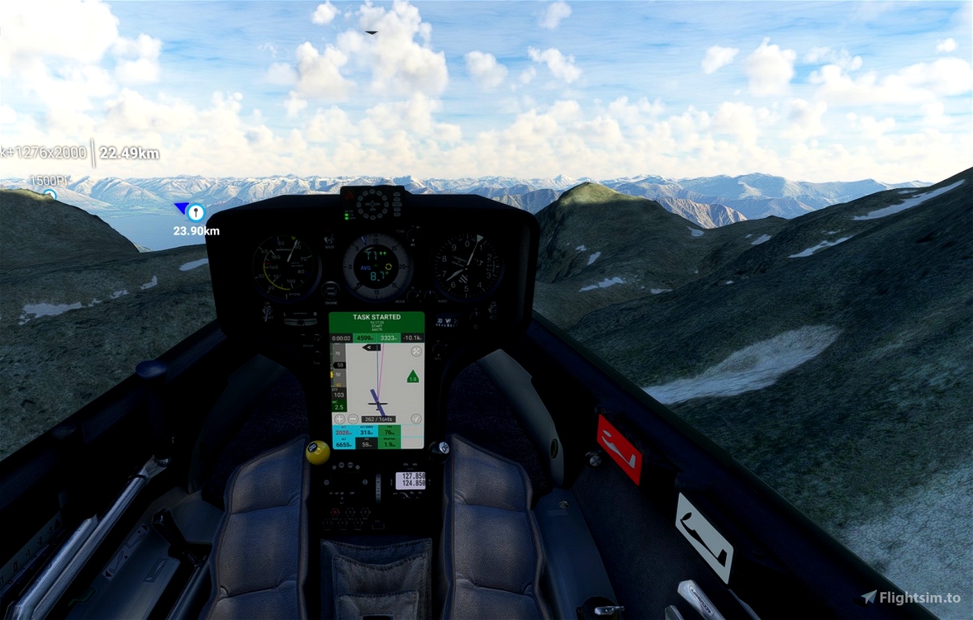
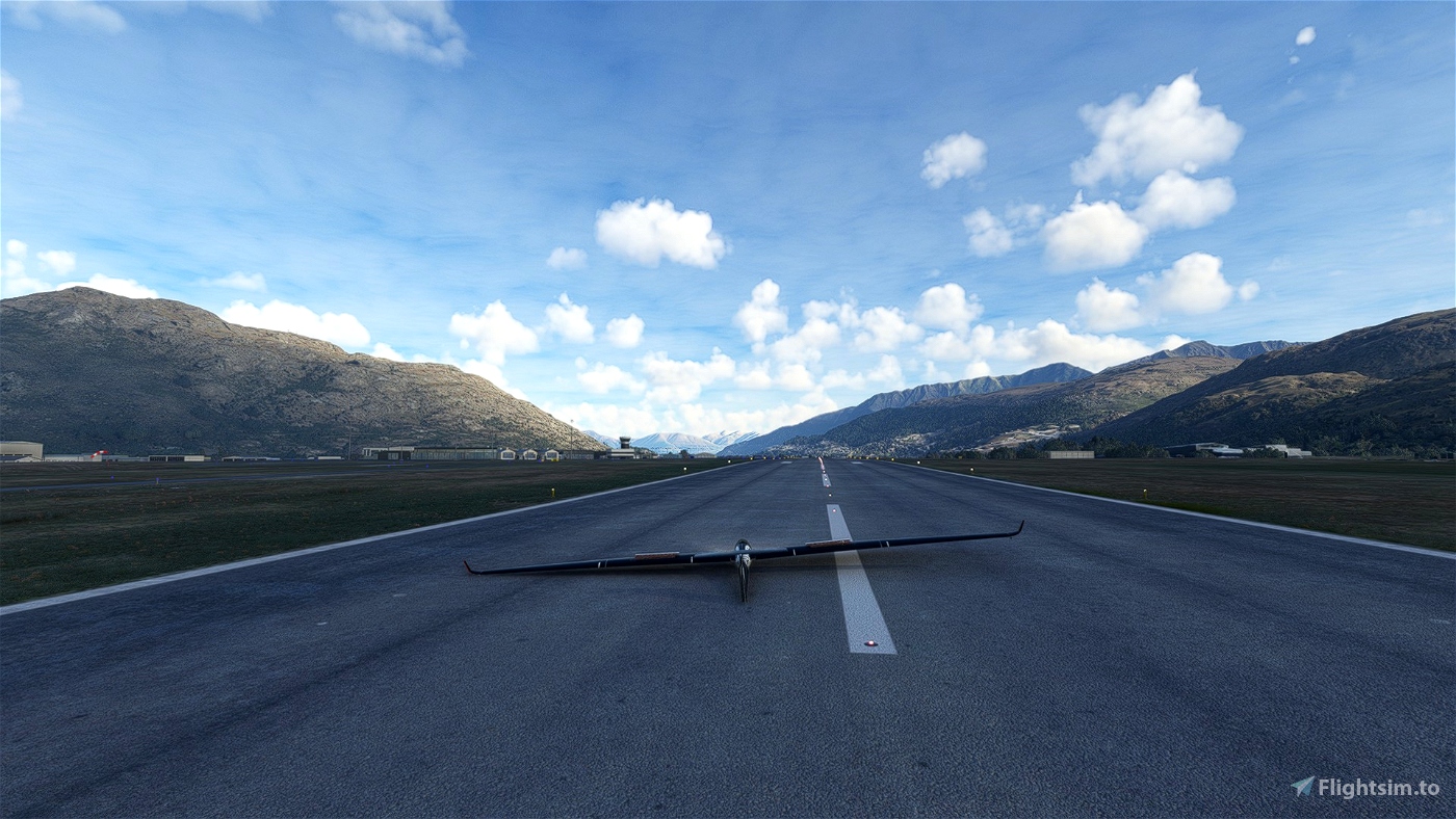

Glider DG808
All credits to @ANRI
MSFS Local date & time is July 01, 2023, 10:00 AM
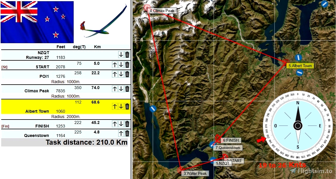
The flight plan to load is NZ-ClimaxPeak-210.pln
You will depart from NZQT NZQT (Rwy 27)
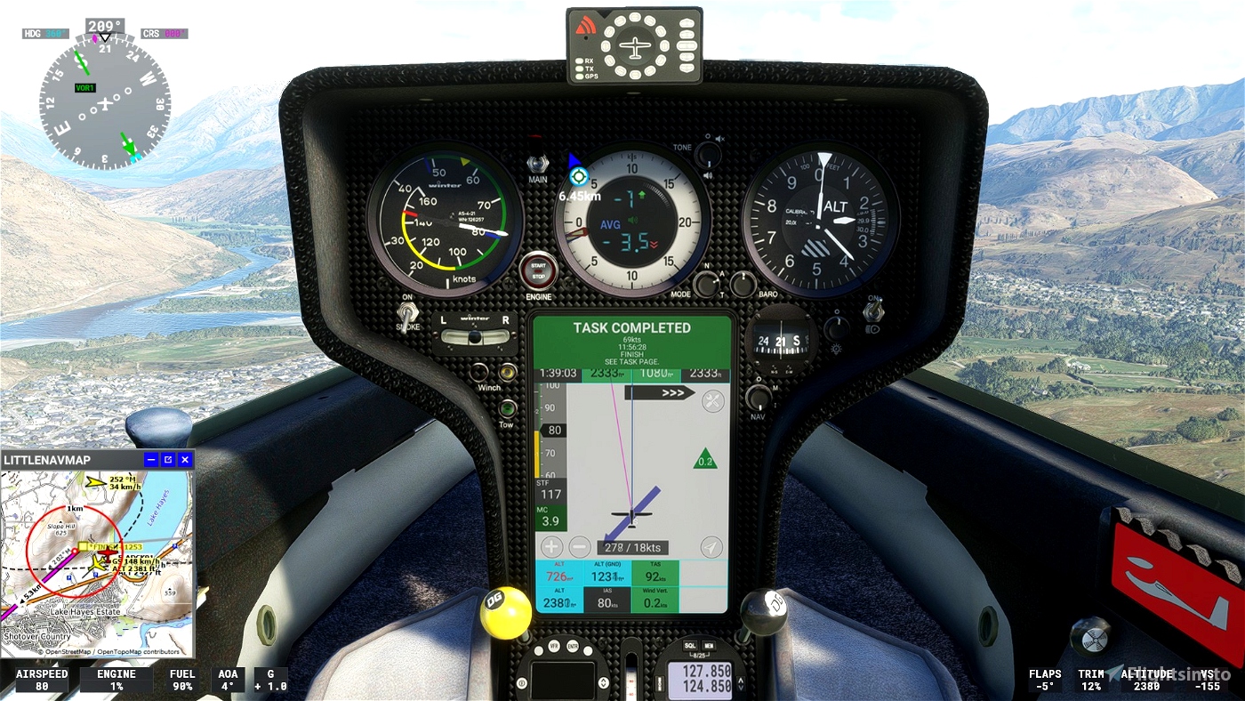
You will land at NZQN Queenstown
Distance are 220 km total (210 km task)
Approx. duration should be 75 to 150 minutes (1h15 to 2h30)
Recommended gliders: Flapped
The difficulty is rated as Experimented
The elevation measurement used is AMSL (Above Mean Sea Level)
The barometric pressure is 29,92 inHg
The temperature is 19°C
The humidity index is 3,00
Wind Layers
- 3518' 270° @ 19 kts (Expect 9,5 kts on surface)
- 18847' 230° @ 26 kts
Cloud Layers
- From 13954' to 22156', 16% coverage, 1,000 density, 90% scattering
- From 24446' to 26086', 81% coverage, 1,000 density, 0% scattering
- From 35824' to 36644', 94% coverage, 1,000 density, 50% scattering
feet deg(T) km
NZQT 3881 Runway: 27
START 6817 5.0
Water Peak 1280 258 22.2 Radius: 1000m.
Climax Peak 7835 350 74.0 Radius: 1000m.
Albert Town 1060 112 68.6 Radius: 2000m.
FINISH 1253 222 45.2
Queenstown 1164 225 4.8
MSFS ALBATROSS
DG Flugzeugbau DG-808S
https://msfs.touching.cloud/mods/ms-dg-808s/
DG808S - LXN Nav Replacement pour Microsoft Flight Simulator | MSFS
https://fr.flightsim.to/file/41698/dg808s-lxn-nav-replacement
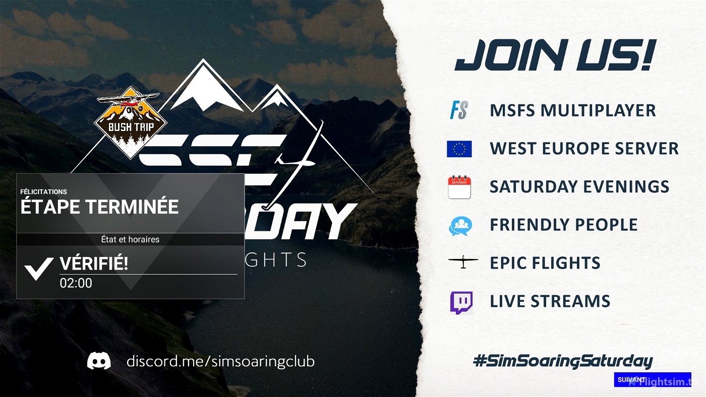
SCC Sim Soaring Club
https://www.instagram.com/simsoaringclub/
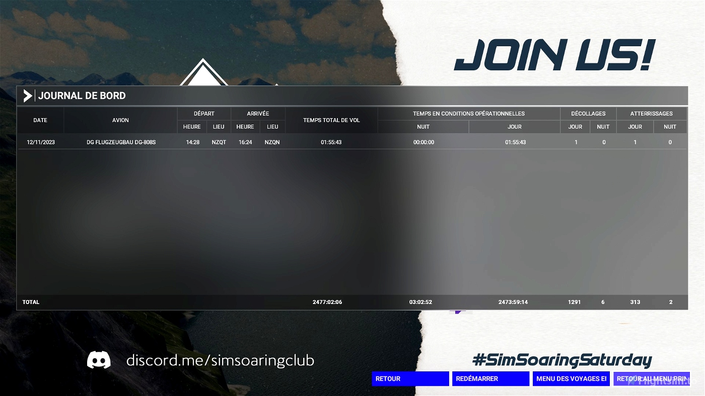
https://discord.me/simsoaringclub

 ADCKillerman

