

The U.S. State Capitals (Part 6)
This journey is for fun only!
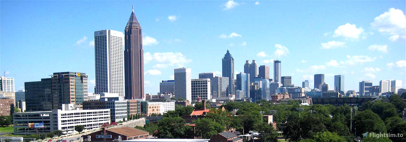
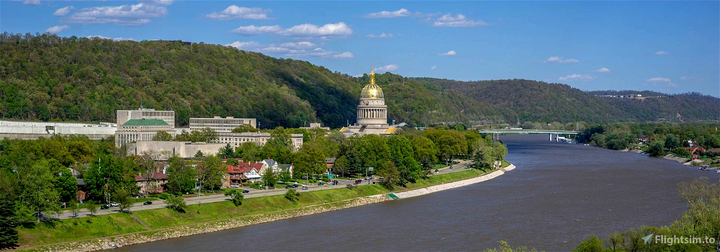
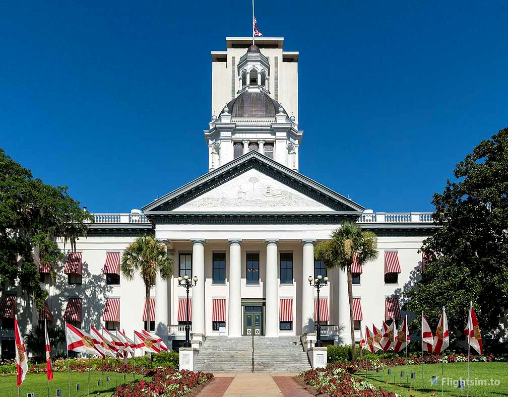
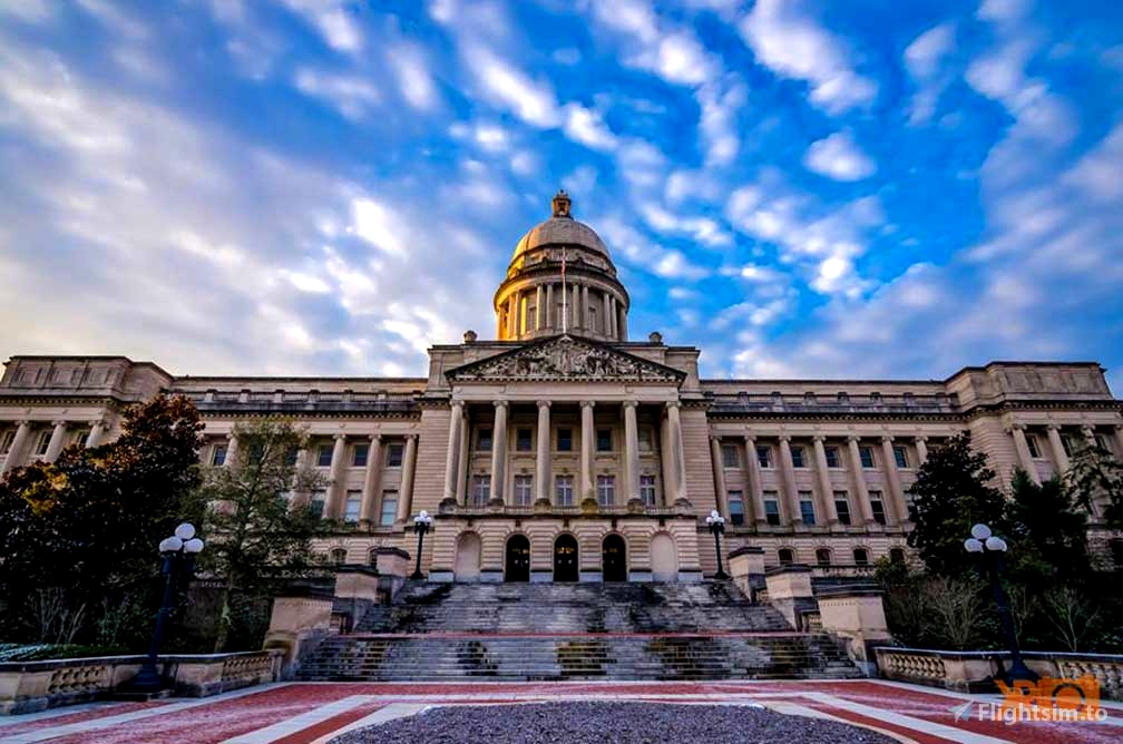
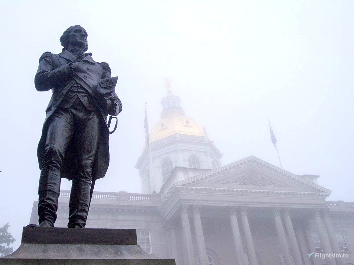
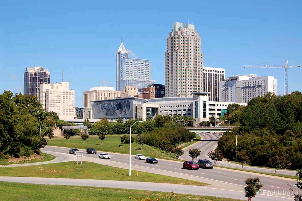
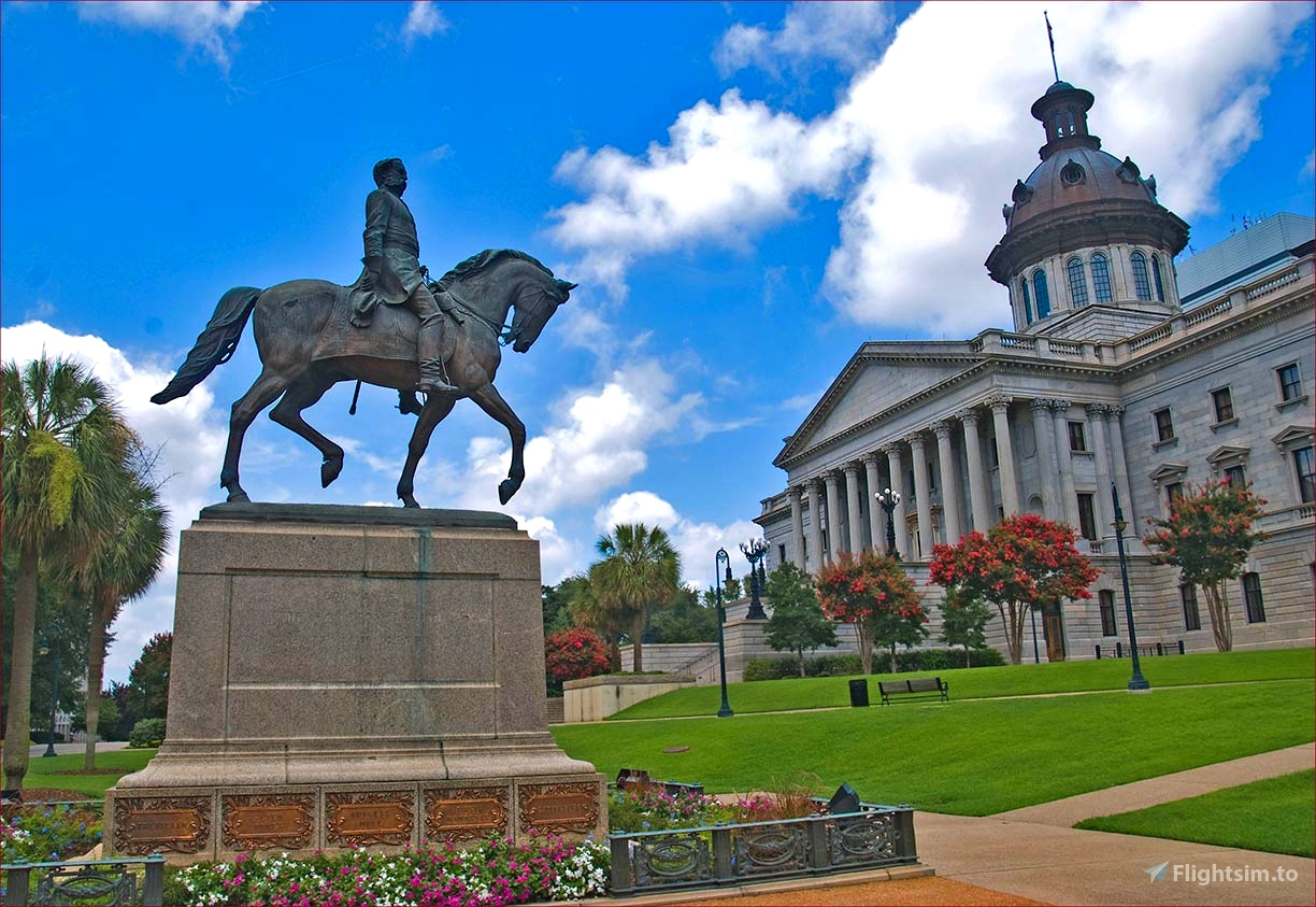
Part 6 begins in Montgomery, Alabama, and ends in Frankfort, Kentucky.
Going through 8 states and landing at 6 State Capitals.
There are no challenging landings or takeoffs. In fact, all the airports are at least 5,000 feet in length.
In this section, when we get to West Virginia we need to increase our altitude to at least 5000 feet.
We need to clear the Appalachian Mountains.
I have the TBM 930 as default, but even a Longitude can make this trip with no problems.
(You may change the aircraft as needed)
Weather and Fuel:
The weather is set to Clear Skies and a 6 p.m. takeoff time.
You can change the weather in-flight via the toolbar menu to your liking.
The fuel is reset to full after each landing.
The aircraft is running and on the runway reading for take off.
Installation:
Unzip the file and copy and paste it into your community folder.
Additional remarks:
With the TBM 930, each leg will take about 30 minutes.
If you would like a different aircraft, just edit the "FLT" file to your desire.
If you haven't done Previous Parts... you can get them here:
https://flightsim.to/file/62022/u-s-state-capitals-bush-trip-part-1
https://flightsim.to/file/62068/u-s-state-capitals-bush-trip-part-2
https://flightsim.to/file/62138/u-s-state-capitals-bush-trip-part-3
https://flightsim.to/file/62213/u-s-state-capitals-bush-trip-part-4
https://flightsim.to/file/62274/u-s-state-capitals-bush-trip-part-5
Special thanks:
This bush trip was made with BushTripInjector and Little Navmap.
Special thanks to the creators of these excellent tools, BuffyGC and Alexander Barthel!

 bartydog


5 months ago
DD1952