Have you ever wanted to drive around the United States delivering mail? Have you wanted to do that in a plane, but slower? Now you can!
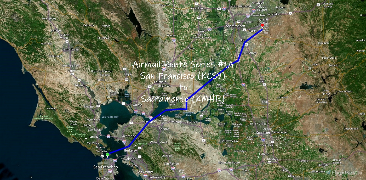
#1A in a series of missions based on early Airmail Delivery Routes
Aeronautical Bulletin - Route Information Series Number 1: September 15, 1923
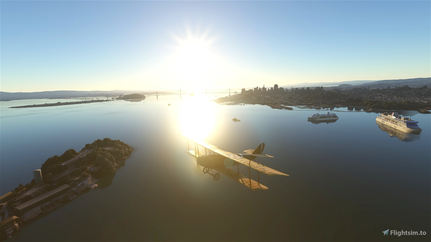
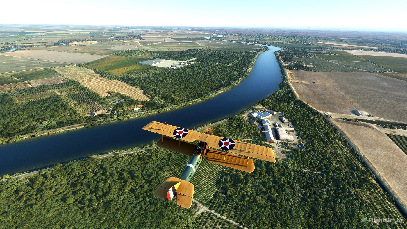
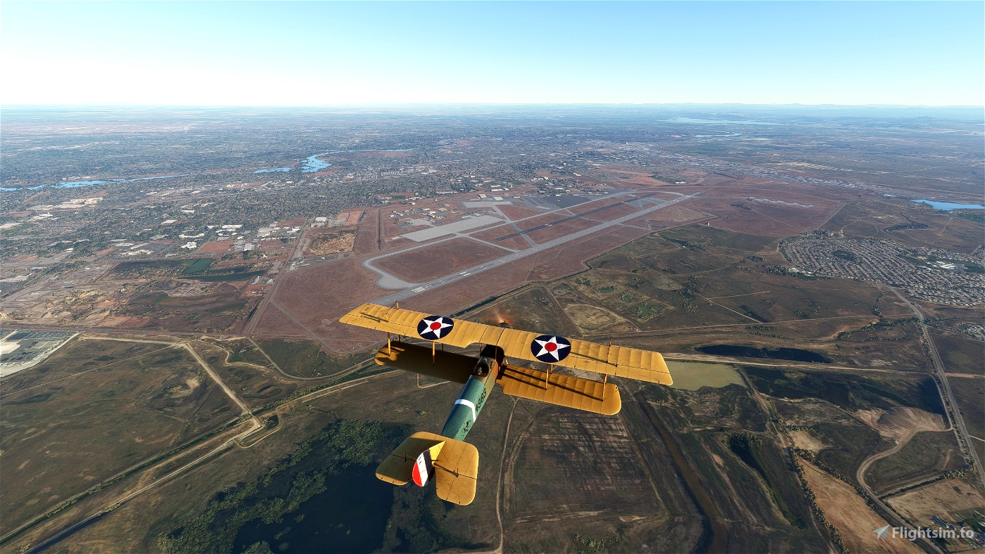
Leg 1: Crissy Field (KCSY), San Francisco, California, to Mather Field (KMHR), Sacramento, California
- Distance: 74.83NM
- ETE: 01:21
About the Series:
When airmail began in 1918, airplanes were still a fairly new invention. Pilots flew in open cockpits in all kinds of weather, in planes later described as “a nervous collection of whistling wires, of linen stretched over wooden ribs, all attached to a wheezy, water-cooled engine. Pilots followed landmarks on the ground; in fog they flew blind. Gradually, through trial and error and personal sacrifice, U.S. Air Mail Service employees developed reliable navigation aids and safety features for planes and pilots. They demonstrated that flight schedules could be safely maintained in all kinds of weather. Then they created lighted airways and proved that night flying was possible. Once the Post Office Department had proven the viability of commercial flight, airmail service was turned over to private carriers, flying under contract with the Department. In the days before passenger service, revenue from airmail contracts sustained commercial airlines. These missions celebrate those early days of aviation.
All POIs and route markers were hand placed in Littlenavmap using Library of Congress Airway System Set Maps, route direction bulletins, and total guesswork based on the information available.
These routes are not 100% accurate, but I have spent a lot of time to get as close as I can. Many early airports have been abandoned, railroad lines have gone out of business, roads and highways have been built, rivers dry up or get diverted, houses get repainted, water towers get torn down, you get the idea. Though all routes still use the given waypoints and try to stick to the spirit of the original flight, route descriptions have been clarified and POI names have been updated where appropriate.
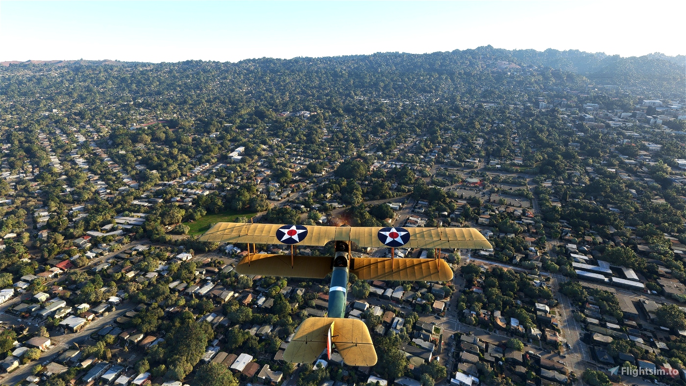
All missions use the Curtiss JN-4D Jenny. You can change the plane in the .FLT file if you know what you're doing.
Most missions will be 2 legs with a flight out and a return trip as they were originally described (in the case of this trip, the return trip is from Sacramento airport nearby, which you can't do in Bush Trips, so I'll upload the second part when it's finished).
Installation:
Extract to your community folder
Launch from Activities > Custom Content
Features:
Runway start
No GPS
You're carrying your 170 pound self and 150 pounds of mail in the Co-Pilot seat
The mission will end when you've stopped (you don't have brakes, let it roll)
Live Weather / 8:00am departure time
Navigation Aids: Off but can be enabled if you want waypoint markers
Piloting: All off. Auto-Rudder can't be locked, so if you really want to enable it, go ahead
User Experience: Off except opening VFR map and Navlog, but can be changed as you wish
Failure and Damages: Enabled but can be turned off
POIs: All Off (they don't appear to work in Bush Trips even if enabled)
Translations are done by machine and are not tested, apologies for any errors
Bushtrip #1A Notes:
Crissy Field is now a public park. I've generated it using Bushtrip Injector and it seems to work quite well, though it is short. The alternative is adding another 10 miles from KSFO. So go full power and pull up right before you run over the picnicers.
Somehow an entire island is missing (Ryder Island/US Naval Station Port Chicago). You should pass it after Roe Island, it's much larger, and appears on both Google and Bing Maps, it's also a waypoint here, but appears as open water in game.
Recommended Mods:
Water fix - San Francisco County, California, USA
Other Mods I use:
Mamudesign - Marinas
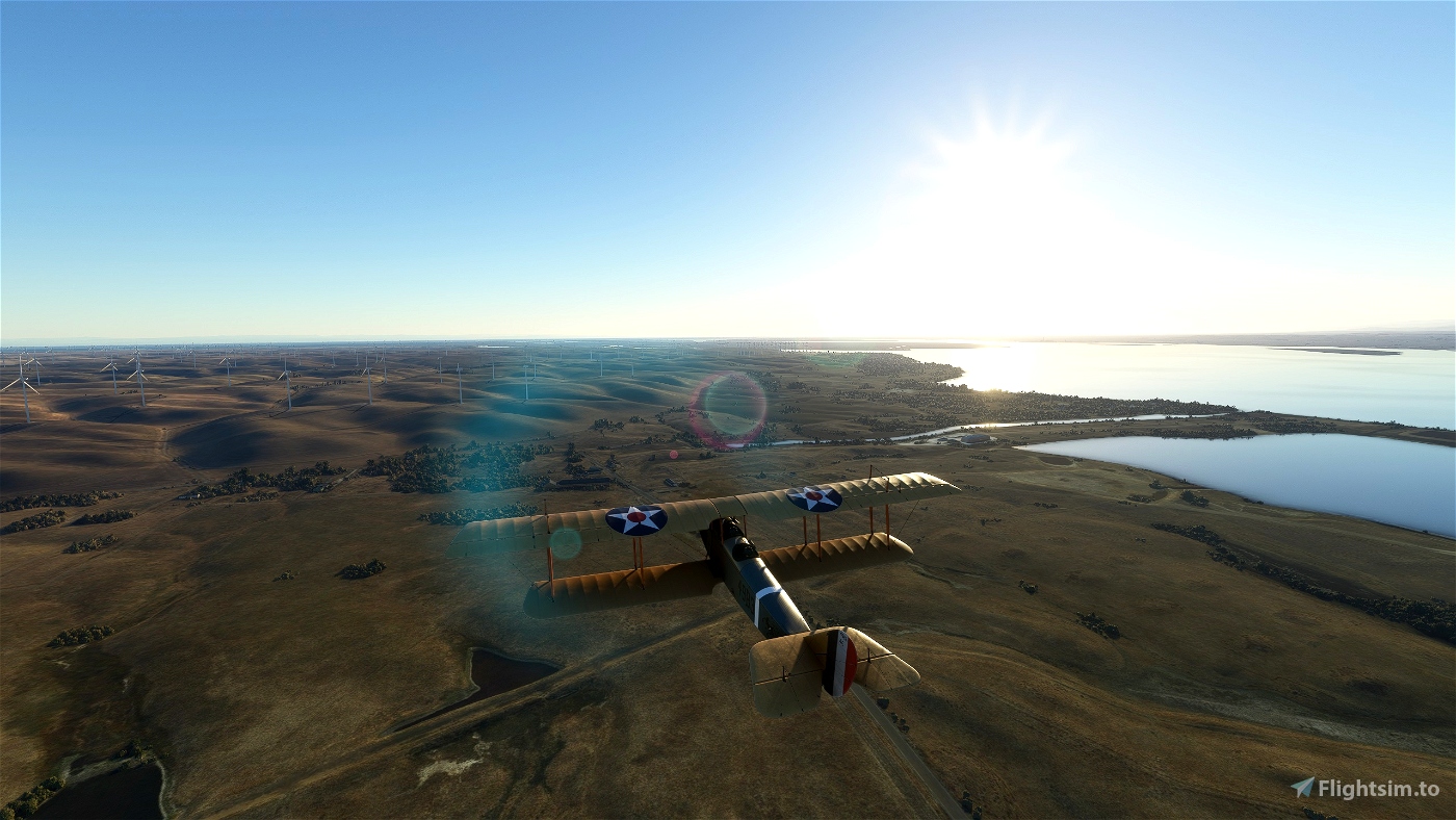
Powerlines and Solar Farms
We Love VFR - Region 2
Created with BushTripInjector
