
Here is a fun Alberta VFR GPS flightplan that departs Wetaskiwin and follows the Battle River valley all the way down to Coronation Alberta.
Best flown in a fairly slow GA aircraft like the 172 or DA-40NG.
After departing Wetaskiwin, the route takes you to Pipestone Creek near the little village of Gwynn. It follows the Pipestone for a short distance until reach the Battle River Valley. We split off from the river valley north of Coronation where we follow an old abandoned railway line for a bit before overflying the town of Coronation and joining our overhead and downwind into Coronation. At WP54 you can climb back up to 1000 feet above field elevation, tune Coronation TFC and make your call.
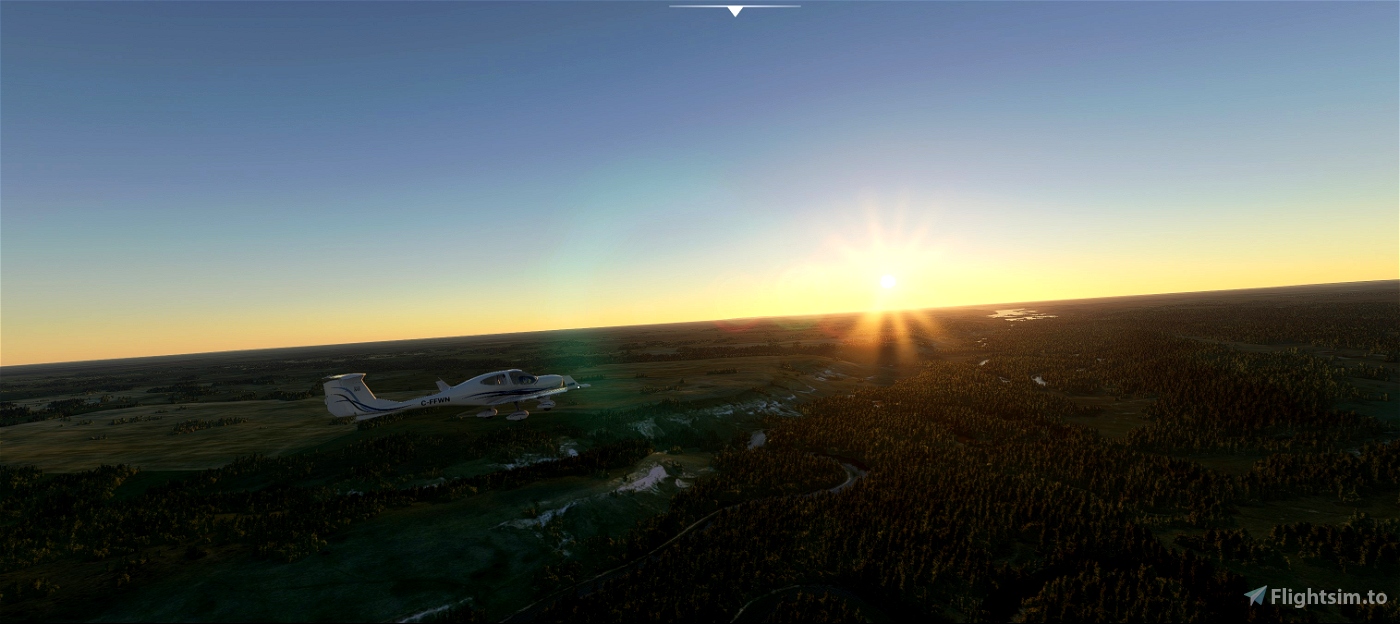
Feel free to fly this route fairly low (maybe 3000 feet) and enjoy the scenery. There are some tall radio towers that you'll pass just north of the junction of hwy 21 and the Battle River. (included in my Wetaskiwin scenery) These are CFCW 840 AM. I knew the engineer who used to manage those towers, and although he's passed on now, he wouldn't like it if you damaged them.
The Battle River has it's headwaters in Battle Lake east of Winfield Alberta. It flows for 350 miles and empties into the North Saskatchewan River at Battleford Saskatchewan.
Trip distance is 107 nm. Reverse route is included.
Coronation CYCT scenery and Wetaskiwin scenery is available on my webpage: genaiss.com/other-interests
Coronation field elev. 2595 feet. Runway 11/29 3000' by 75' asphalt
Enjoy!
Doug (deltasim59er)

 deltasim59er


Your flight plans amaze me,lol . 98% are areas i have spent a ton of time around. Last time (In real life)we flew into Coronation we were the only ones to sign the guestbook in like 4 years ,lol and i just found your page with the Scenery..... Awesome.
3 years ago
Well I'm happy you're enjoying the flight plans and areas I've done. I know what some of these small airports are like lol. I flew into Houston BC once and signed the guestbook...it was deserted.
3 years ago
deltasim59er
Tester4301