
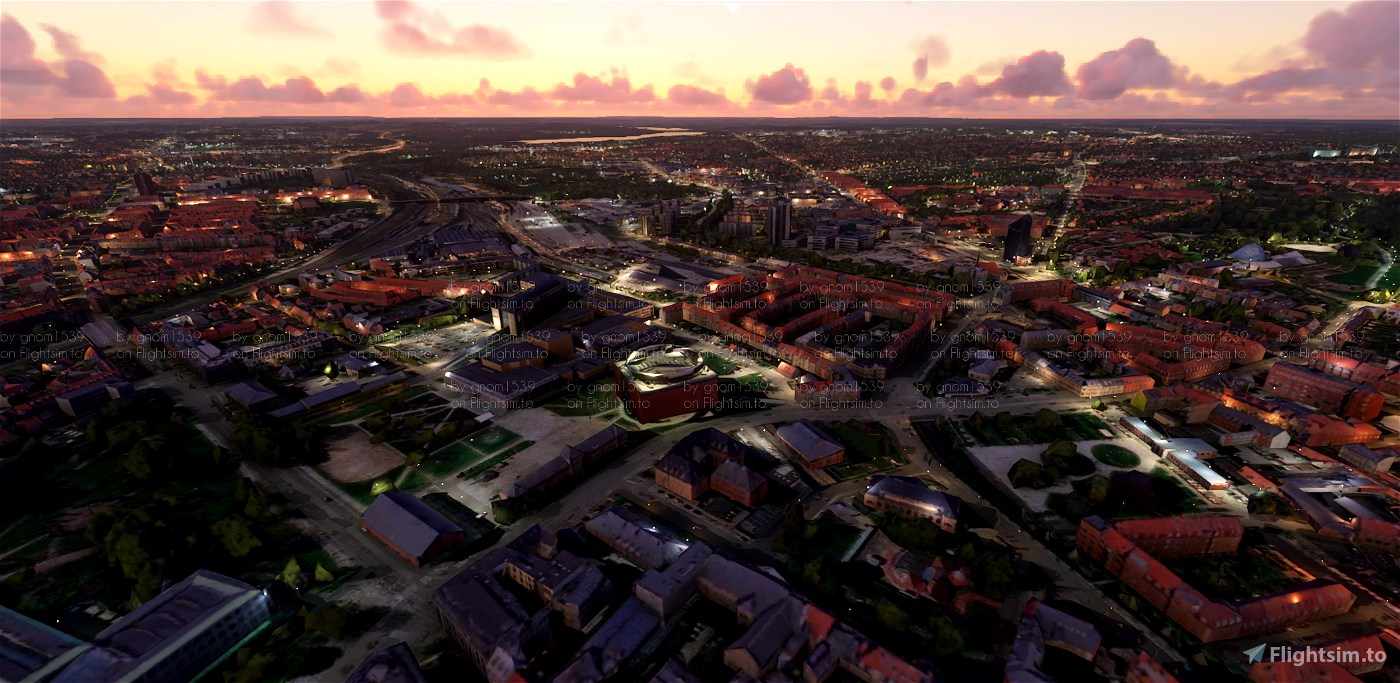
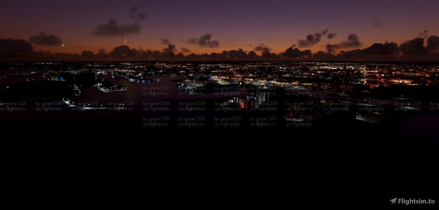
Based on photogrammetry data from Google
Installation:
Simply extract the folder "Aarhus" to your Community Folder.
File credits
This free creation contains content from Google Maps or Google Earth. In accordance with Google Terms of Services and especially point 2.2 of Google Maps/Google Earth Additional Terms of Service, this creation is based on « fair use » or « fair dealing » of the data provided by google throught its services. No commercial use or any gain is or will ever be made by the author of this creation, who doesn’t own anything regarding google assets but a simple user Licence. According to the following document https://www.google.com/intl/en-GB/permissions/geoguidelines/, the author is freely sharing a creative application of Google Maps or Google Earth. The author will not recieve any form of retribution for sharing his work, even general donations from users of file hosting web services under the form of « rewards » or « tips ». If this content would be found somewhere where it is provided in exchange of money or any kind of retribution, I wouldn’t be with the consent of the author who will stick to strict free content creation diffusion.
Part of this content including 3d data and textures is copyrighted by
Imagery ©2020 Google, Imagery ©2020 CNES/ Airbus, Maxar Technologies,
USDA Farm Service Agency, Map data ©2020 Google.


First of all, thank you so much for this great scenery of my home town. I was wondering if you are aware that it messes up the water elevation (making it basically impossible to use the water runways they added in SU5) of the harbour and a lot of Aarhus bay? Would love this to be addressed if possible, but i understand if you have moved on from this project
3 years ago
dustninja
3 years ago
jonit
(Steam - Version)
4 years ago
TBird1608
4 years ago
paulhannover
4 years ago
paulhannover
4 years ago
imb12
4 years ago
Krys
4 years ago
emanndk
4 years ago
4 years ago
gnom1539
GadgetPilot